
Gran Canaria: Hiking in Mogán
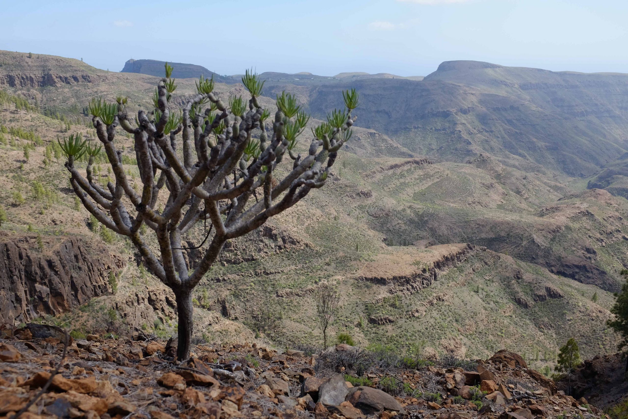
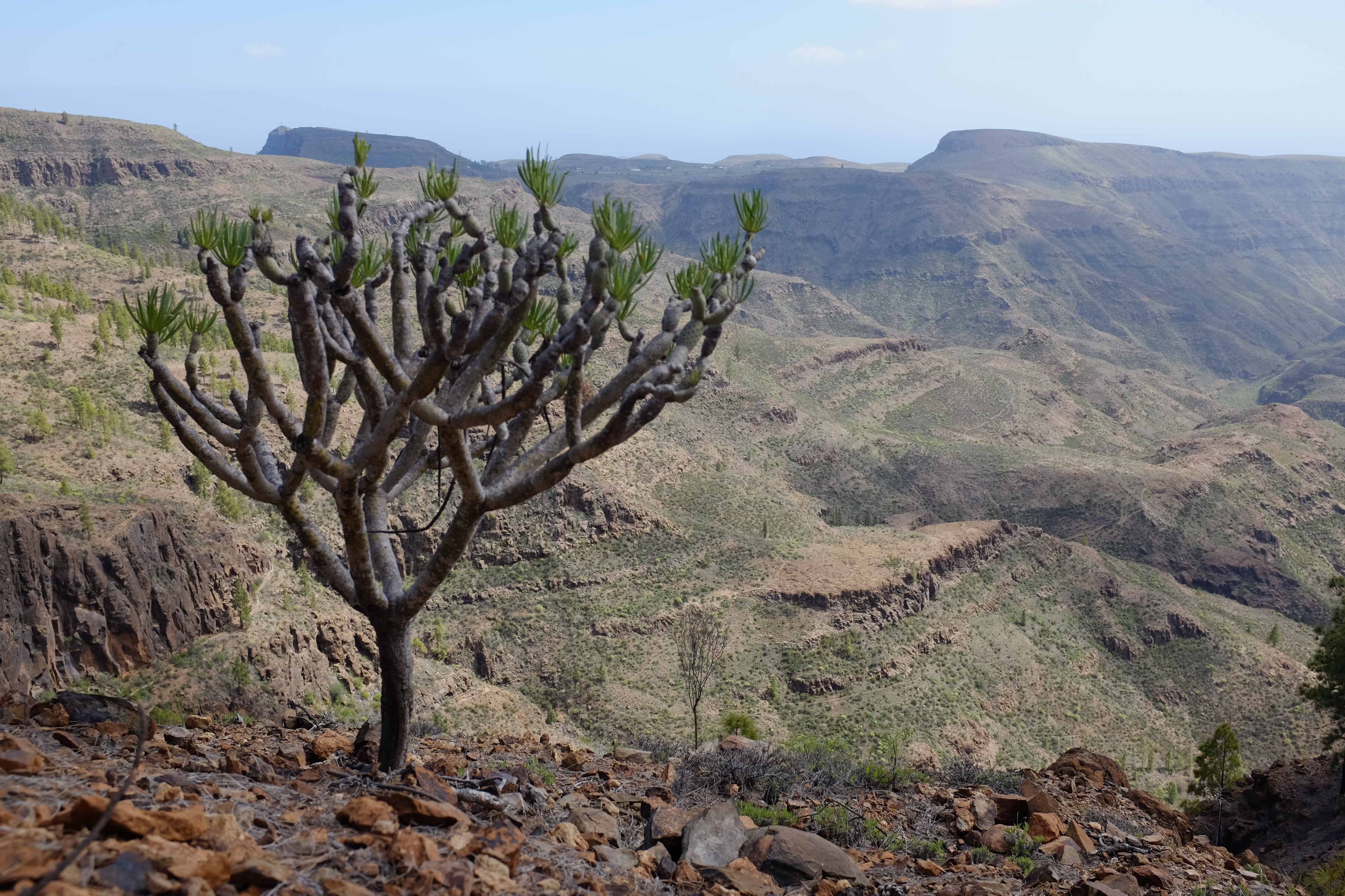
When people said ‘Tenerife’ or ‘Gran Canaria’ to me in the past, I’ve thought of towering hotel blocks packed to the brim with sunburned tourists who bake themselves on the beach all day. I’ve now come to the realisation that this is only a partly accurate image. Whilst the coastline of Gran Canaria is a heaving mass of holiday resorts, I discovered that inland is full of huge volcanic mountains that are perfect for walking.
We decided to rent a car for our weeklong stay. This allowed the freedom for longer/higher walks and was pretty cheap anyway. There are local buses but it would be difficult to get into the higher mountains using them.
Hiking from Mogán – The Lake walk
The first house we rented was near Mogán, a town on the South-West coast of Gran Canaria. We spent a few days driving up the GC-605 to walk in the mountains
One of the comments I heard before getting there was ‘the mountain roads are horrendous! You’re better off catching the bus’. This is completely inaccurate, all roads we drove along had barriers and many had been resurfaced in recent years. The only way to get a road to the top of a cliff is with hairpin bends, so a potential danger is if sharp bendy roads make you nervous.
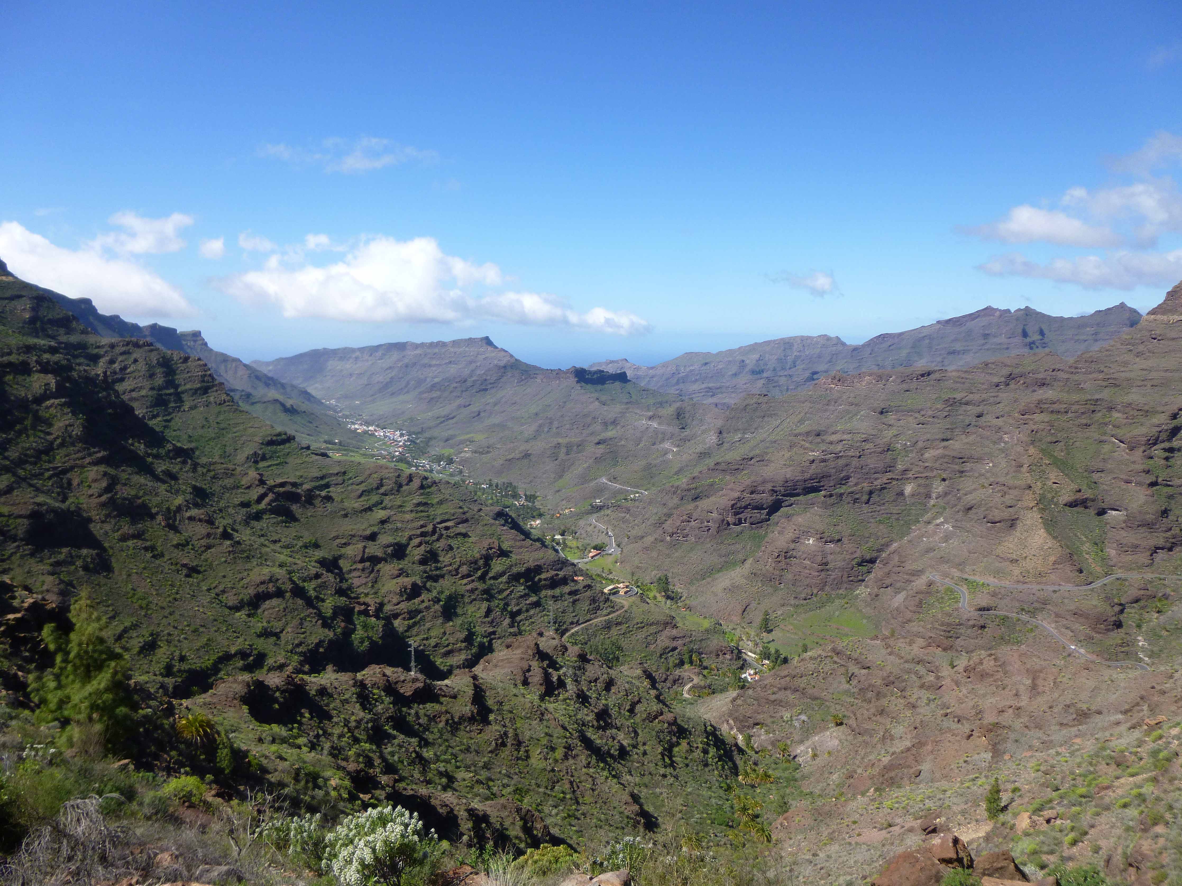
If meeting someone coming from the opposite direction worries you, we found that most people go up in the morning and down in the afternoon. If you follow the same pattern, you’re likely to meet one or two cars rather than fifteen all trying to get home.
The first walk near Mogan we did was around Presa De Las Niñas, a large lake with a picnic/bbq spot that would be perfect for a lunch or evening BBQ.


Hiking from Mogán – The plateau walk
The second walk from Mogán was around a large mountain plateau. It was a huge climb up then a long circular walk along the cliff edge. I’ll confess it was somewhat longer than it should have been (as the route below shows!). A good piece of advice when walking in Gran Canaria is to keep a close eye on the path you’re following and be aware of when you need to take a turning. It’s a hot country and so the path sometimes disappears over hard rock.
I don’t normally do panorama photos, but the view from the top of the plateau was incredible enough to require one. The lakes in the view all have dams as they need to save as much water as possible.

Which direction do you think the water is flowing in the photo below?
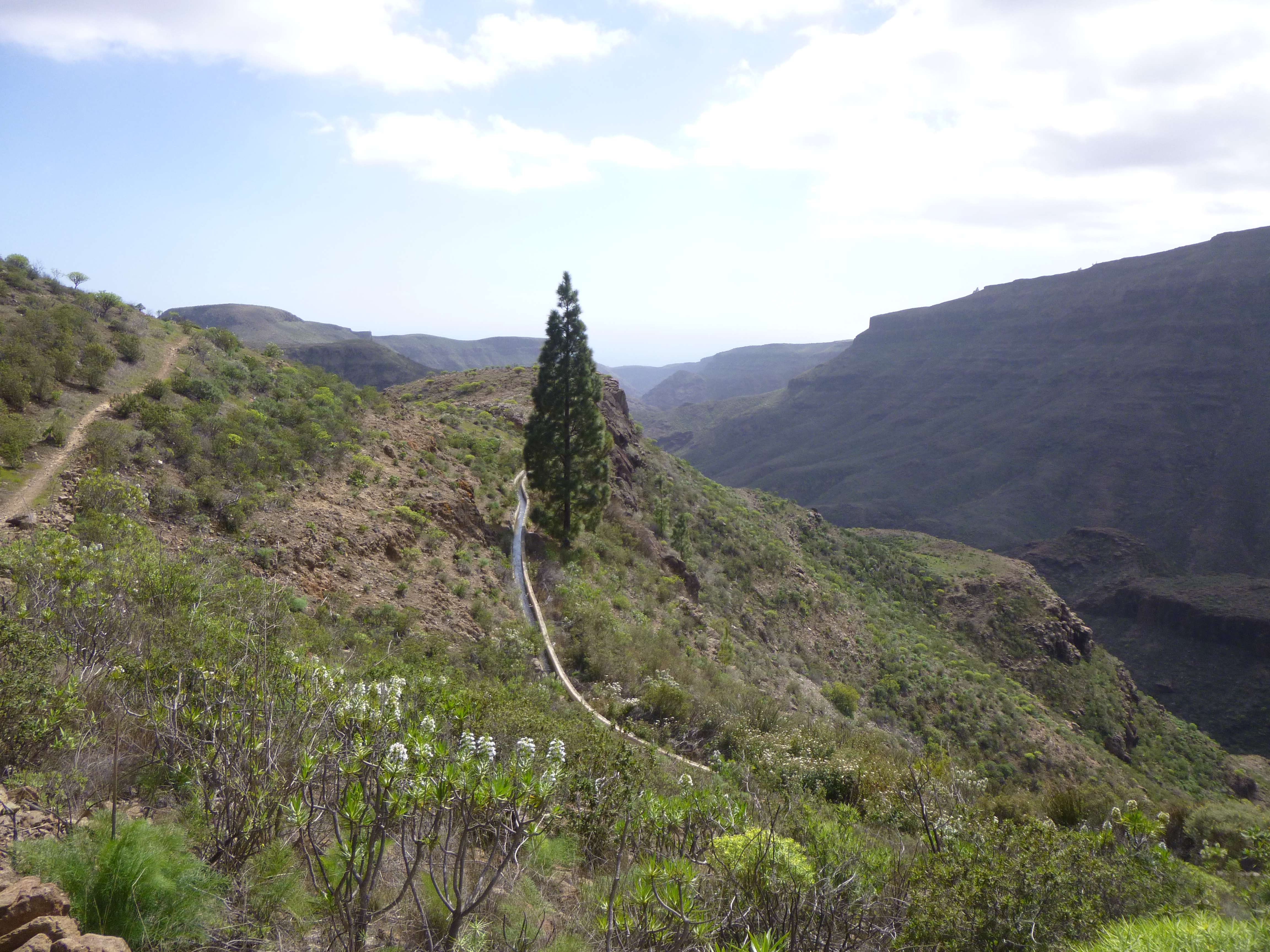
Did you think it was flowing towards you? It is actually flowing (downhill) away from you. There are many canals that start in the mountains of Gran Canaria and gradually contour miles down to the coastline. Incidentally, whilst the tap water is safe, it also isn’t that nice and so it is advised to drink bottled water as much as possible.
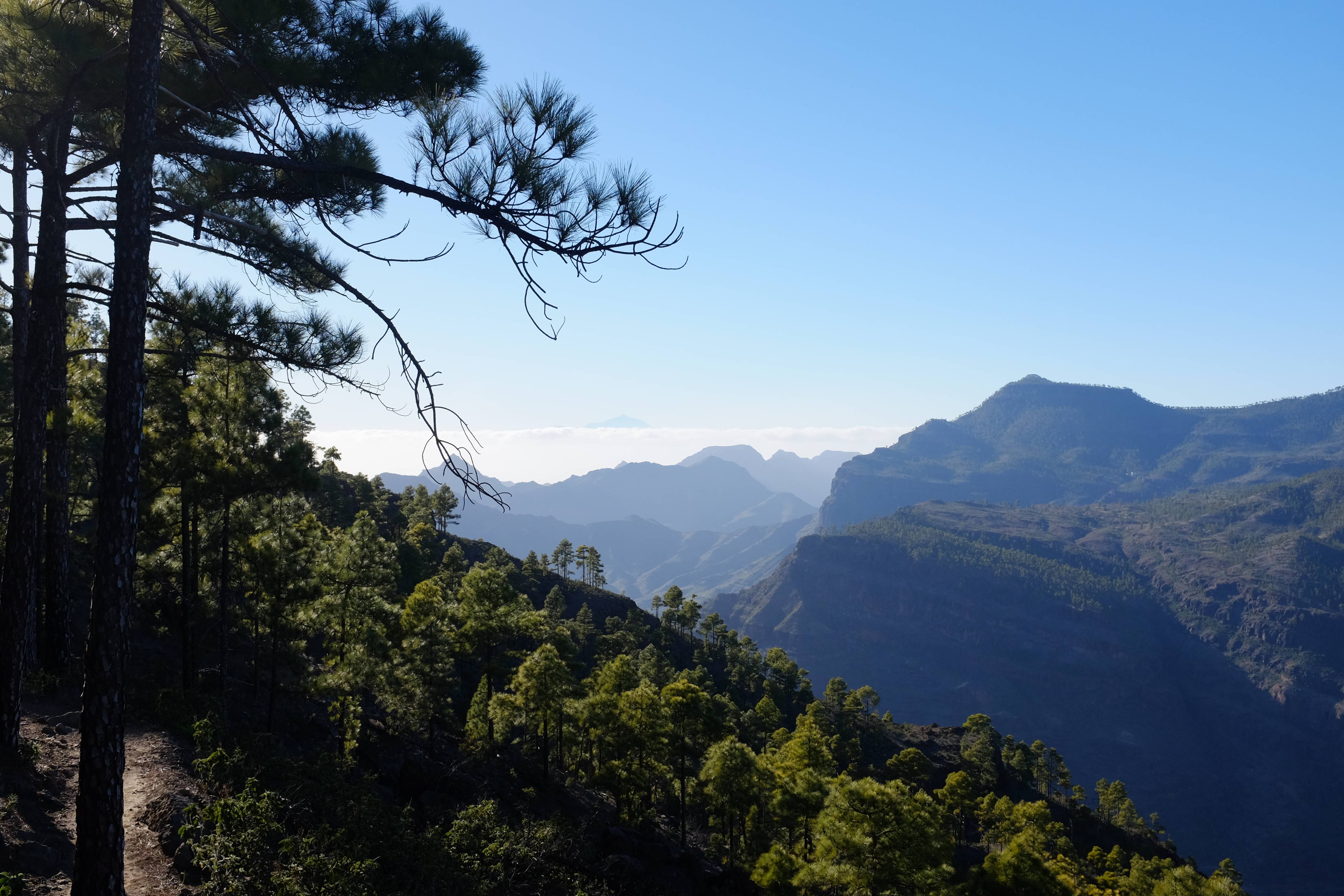
Due to us overshooting the turning we were a little bit late on our walk down the mountain. This did mean that the cloud had time to build up around Tenerife and we had a beautiful view of the mountain peaking over the top. A local told us that the Tenerife mountains still had snow on up to a few weeks ago!
I can’t find a map showing the route anywhere so this GPS route recording will have to do.
The following day we went to see the famous Maspalomas Sand Dunes!

